Luxembourg in Transition
Luxembourg and the Greater Region
| Type | Research / Regional planning / Strategy |
| Design | 2020-2021 |
| Location | Luxembourg, Belgium, Germany, France |
| Size | 42,193.47 km² |
| Client | Luxembourg Ministry of Energy and Spatial planning |
| I.c.w. | 51N4E, 2001, Systematica, Endeavours, TU Kaiserslautern, ETH Zürich, Transsolar, Yellow Ball, Office for Cities, Gregor Waltersdorfer |
| Team | Peter Veenstra, Simon Verbeeck, Martin Garcia Perez |

Soil & People is chosen as finalists of ‘Luxembourg in Transition’, a pilot study in order to determine the ecological transition of Luxembourg and the Greater Region towards zero-carbon 2050. Soil & People is one of the spatial visions that are made for a sustainable future of the region Luxembourg. This vision focuses specifically on lifestyle habits and nature-based solutions and is the result of a multidisciplinary approach by 51N4E, 2001, LOLA, Systematica, Endeavour, TU Kaiserslautern, ETH Zürich, Transsolar, Yellow Ball, OFC and Gregor Waltersdorfer.
‘Luxembourg in Transition’ is an urban-architectural and landscape consultation, launched by the Department of Spatial Planning of the Ministry of Energy and Spatial Planning. It aims to gather strategic spatial planning proposals and produce ecological transition scenarios for a zero-carbon future for the Grand Duchy of Luxembourg and neighbouring border territories.
With Soil & People our team focuses on lifestyle changes, land-use change and regenerative agricultural practices. In this spatial vision we put forward a quantifiable decarbonisation trajectory for the functional territory of Luxembourg. We have adopted the European Commission’s 1.5 LIFE scenario as our baseline and have presented the tools and metrics by which we can exceed its ambitious goals.
Soil & People anticipates on a drastic shift in the dominant socioeconomic model. How do we define growth, live a more balanced life and consume not too much, yet not too little? Do we need to change diets and can Luxembourg produce the food that it consumes? An anticipated shift that requires us to rethink our relationship with the land in our vicinity and our behaviour as a society.

Carbon footprint of our average diet

Carbon footprint of a plant-based diet
To achieve resilience and productive landscapes in the face of climate change, planning of the interconnectedness of ecosystem services is key. The systemic area of influence for natural resources well extends the boundaries of the functional region into a biofunctional region.

Geohydrographical position of Luxembourg and the functional region

Interconnected ecosystems go beyond national borders
As climatic conditions and the anticipated speed of diet and cultivation shift are variable throughout time we have developed an adaptive algorithmic tool for managing natural and productive landscapes. This tool relates societal and spatial factors of change as well as transformation guidelines for the excess land. It generates a new land use distribution map.

Screenshot of the parametric planning tool

Parameters correlation
With the bold diet shift the region can feed itself and reduce its agricultural footprint in favor of local forest expansion. But more importantly the region would not rely on international food production anymore in favor of global biodiversity and natural habitat protection.

Agricultural footprint in 2018

Agricultural footprint in 2050
With the aim of maximum sequestration all the freed-up agricultural land is afforested creating large scale continuous natural habitat on the highlands with additional forest stepping stones and corridors in the agricultural lower areas. In addition agroforestry practices increase the total amount of trees and ecological habitat considerably.

Forest footprint in 2018

Forest footprint in 2050
By 2050 the forests included afforested agricultural land and the carbon sequestering agricultural practices turn the carbon balance around and the annual sequestered CO2 is much higher than the annual emitted CO2. We prove that a bold diet shift driven by citizens, has the power to parachute the total emissions of the region towards neutrality.

Footprint of the land use for food production

Bioregion annual sequestration or emission food provision and LULUCF

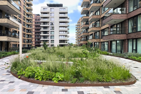
New habitats are denser, but there is a lot of shared green space and accessible nature.

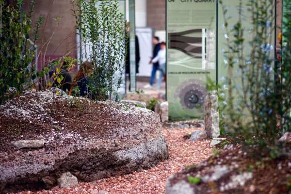
Today’s unhealthy forests represent a vast ecologic, economic and social potential for renewal.

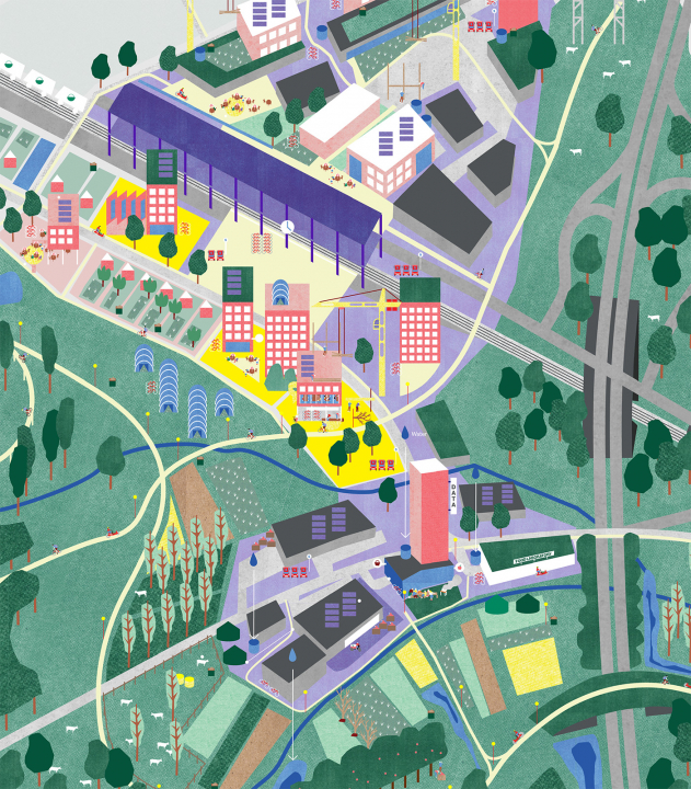
A belt of productive green ecosystems structuring mixed-use living neighborhoods.


