Parkstadroute Limburg

Zuid-Limburg, NL

Type: Landscape design, Recreational route
Design: 2019-2021
Construction: 2023-2025
Location: Parkstad Limburg, NL
Size: 33 ha / 35 km
Client: IBA Parkstad
I.c.w.: The municipalities of Simpelveld, Kerkrade, Heerlen, Landgraaf, Brunsum, Hoensbroek, Muth, Beekdaelen and Schinnen
Team: Peter Veenstra, Brigitta van Weeren, Agostino Bubbico, Mikel Orbegozo, Teun Schuwer, Raf Rooijmans
Photography: Sanne Creuëls Photography, Visit Zuid Limburg, LOLA Landscape Architects

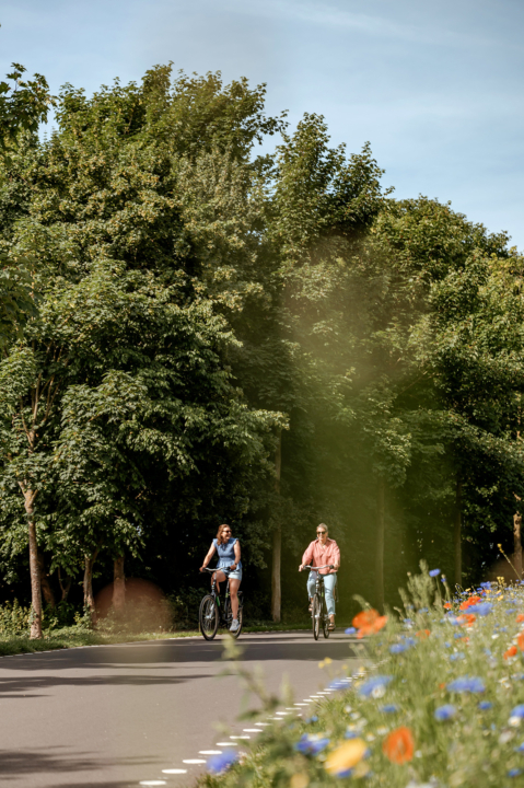
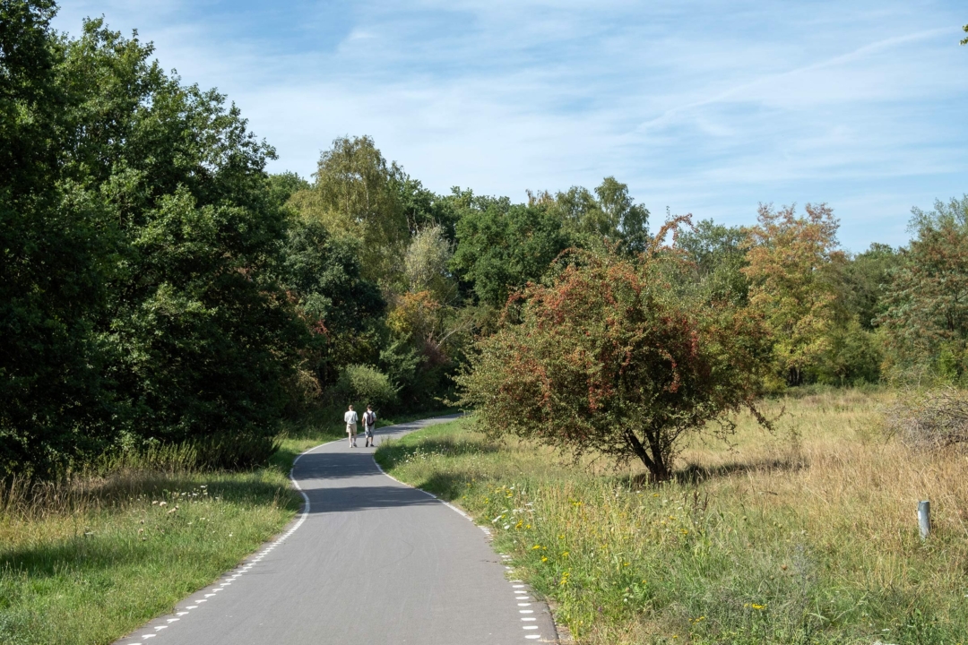
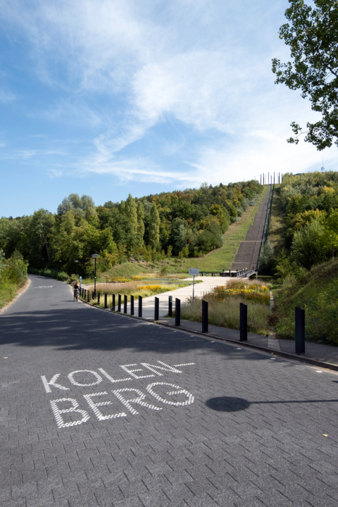
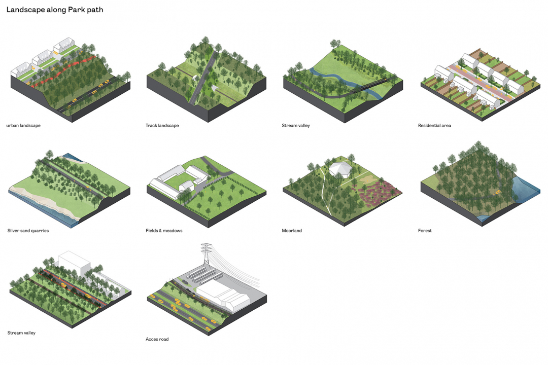
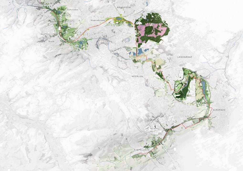
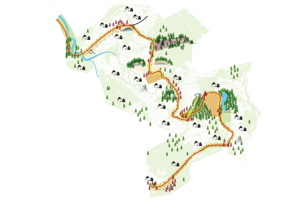
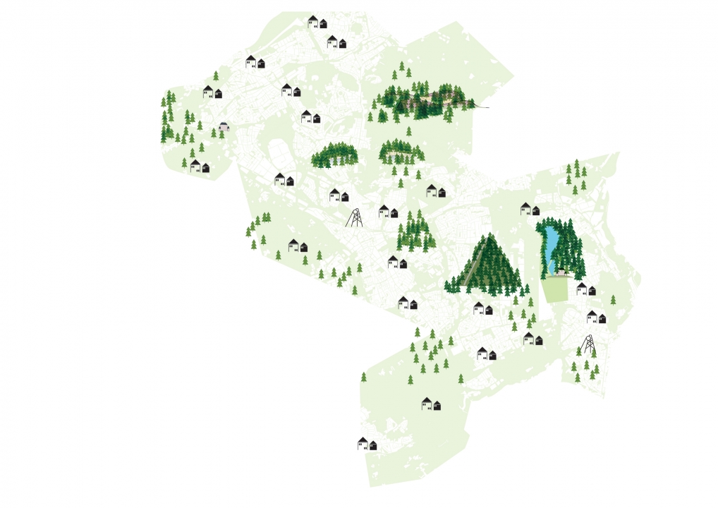
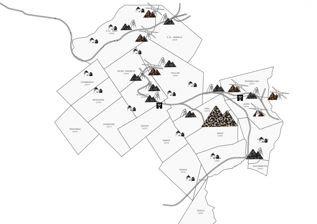
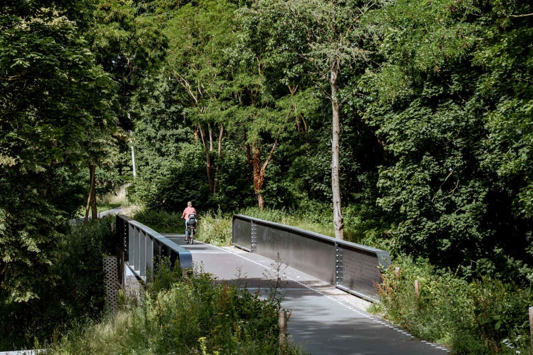
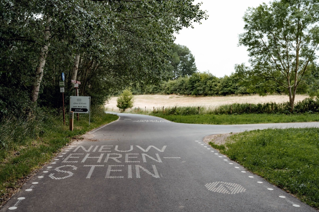
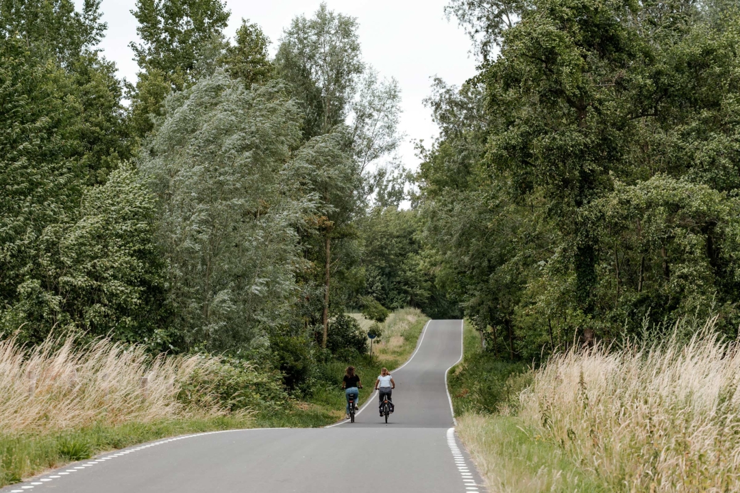
The Parkstadroute is a recreational route (for cycling and hiking) of 35 kilometres, through IBA Parkstad, a region in the Netherlands that used to be known for its coal mining. The route is designed as a recreational route, revealing all the highlights and special landscapes of Parkstad, amongst which are quarts sand quarries, purple coloured heather landscapes, old relicts of mines and castles and man-made terral hills.

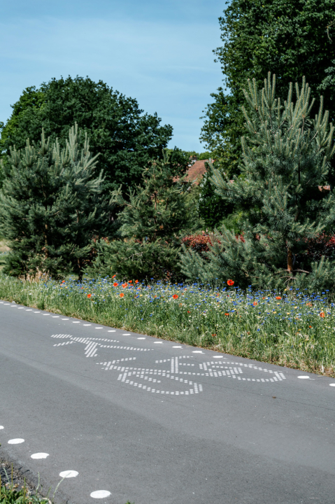
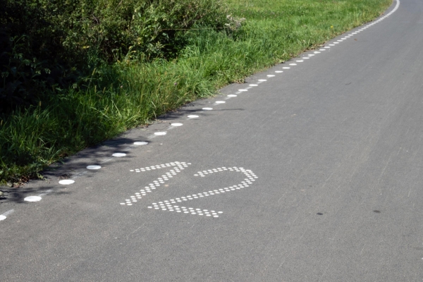
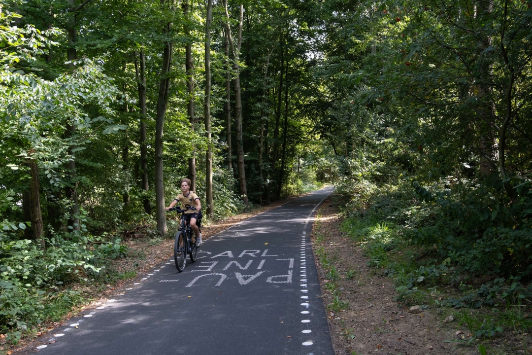
Marked by a distinctive white dotted line, the Parkstadroute weaves through and connects the villages and cities of Simpelveld, Kerkrade, Heerlen, Landgraaf, Brunssum, Hoensbroek, Nuth, Beekdaelen, and Schinnen. The concept behind the route is built upon three pillars: Flow, experience and botanics.

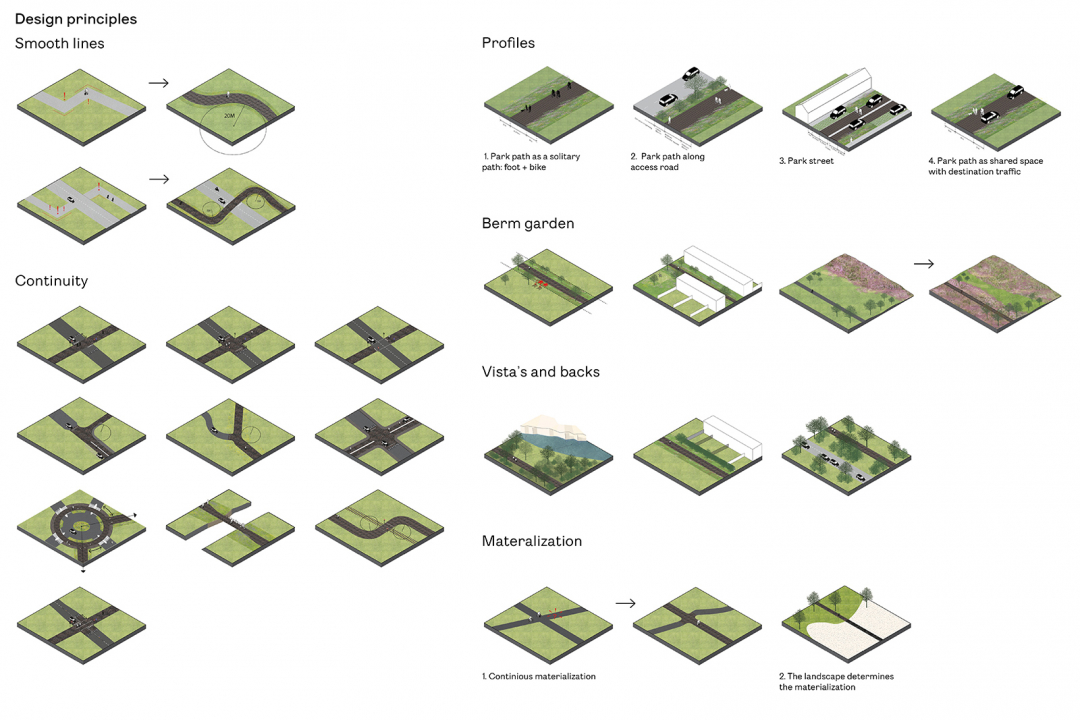
Flow – Following the route by intuition

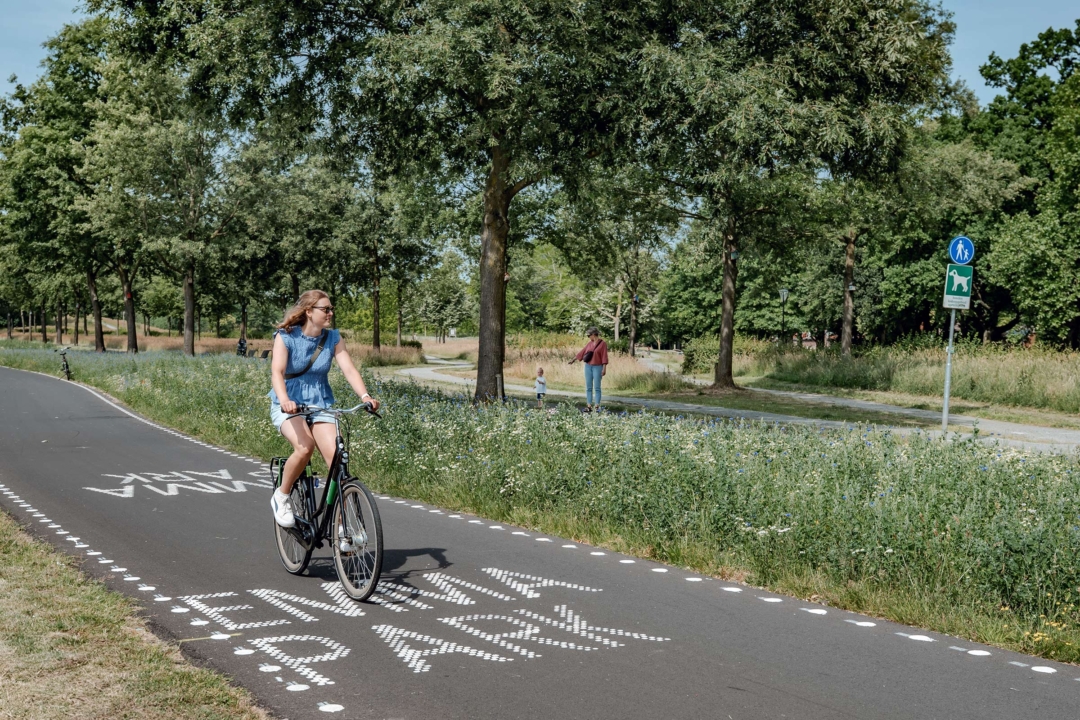
Once you are on the Parkstadroute, you can follow it without dismounting or signs. The route has its own materialization and signing on the road. Bends, rest areas and intersections are optimally designed.

To create a highly qualitive route the flow of the route is important. The flow includes a fluent trajectory, with ‘natural’ corners, in combination

with a continuous route that has the same recognizable material. The Leisure Lane stands out from other routes and roads because of its vernacular looking asphalt paving, which fits the region in colour and texture. The package of these design principles makes it possible to follow the route intuitively and without active way finding. This allows for a maximum experience of the surrounding landscape.

Experience – choreography of the landscape

Trees and shrubs are planted in the flowery verge to frame vistas and create depth. Resting places are located with panoramic views of the iconic landscapes.

The experience of the route is enhanced with the notion of landscape choreography. In this notion the berm of the road is the connecting piece of landscape. On the one hand the berm can be used to create a proper foreground the landscape in the background, which makes the landscape touchable. On the other side planting of the berm can be used to scene what the passer-by sees and sees not.

Botanics – 35 km botanical verge

The route is always accompanied by a wide flowery verge. This verge reflects the 

landscape: heather in the heathland, wildflowers in the fields. In this way, we create a foreground for the landscape in the background and an ecological connection right across the city.

The concept of botanics is translated into two principles, the first one is the existence of the two-sided berm that we see as a long landscape garden. Throughout the route the berm changes with the type of landscape it passes. The colour and texture of the berm are dependent upon the surrounding landscape and the original soil that’s beneath the Parkstadroute. In spring one should is able to cycle through a flourishing landscape garden.

The route is always accompanied by a wide flowery verge

By following the route, one discovers the highlights and distinctive scenery of Parkstad

Design principles and details

Masterplan Parkstadroute

Parkstadroute is based on historic connections of the villages and cities

The route has its own materialization and signing on the road

From panoramic views to the iconic forest landscapes Zuid-Limburg